
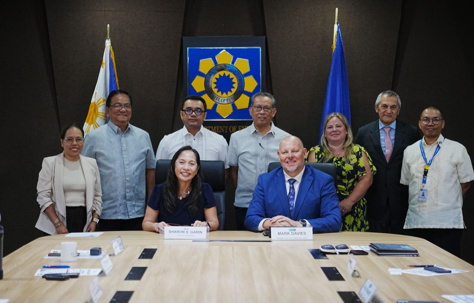
(WO) — UK geophysical company Metatek has secured a contract from the Philippines Department of Energy (DOE) to conduct an initial 40,000-km² airborne geophysical survey aimed at identifying areas with potential for future energy resource development.
The survey will cover Mindanao’s Agusan-Davao basin and the adjacent Davao Gulf and represents the first stage of a broader two-year airborne mapping campaign expected to ultimately cover approximately 120,000 km².
Metatek will deploy its Full Tensor Gravity Gradiometry technology to acquire high-resolution geophysical data across the sedimentary basins. Following completion of the airborne survey, the program is expected to move into a second phase involving the acquisition, processing and interpretation of 2D seismic data.
The company secured the contract following a competitive international tender process.
“This contract award represents another important milestone for Metatek and reflects the dedication of our technical, commercial and operational teams in working closely with the DOE to understand its objectives and design a program tailored to its requirements,” said Metatek CEO Mark Davies.
Davies said substantial areas of the Philippines have yet to be evaluated using modern, high-resolution airborne geophysical surveys, with the new program intended to establish a geoscience foundation for future exploration and investment.
The contract marks Metatek’s first program in the Philippines and expands its work with governments across Southeast Asia and the Pacific Rim.
Metatek is preparing to deploy its systems and begin operations in the Philippines during the fourth quarter of 2026.
About The Author